
Apex Neighbors by Parcel
For block research, “neighbor” is a parcel relationship. Begin with the target lot, then identify a directly touching parcel separately from a lot separated by a public road. The distinction matters because a visual map label is not a legal boundary. The map provides spatial context, while the assessor record provides the current administrative parcel identity and the recorded deed or survey controls legal boundary interpretation. Do not label every person connected with a nearby address as part of the block.
| Block evidence | What It Shows About a Block | Access |
|---|---|---|
| Wake iMAPS | Directly touching parcels, street geometry, parcel identify, historic imagery, zoning, flood, schools, polling, soils, and contours | Official map viewer and linked records |
| Wake Real Estate Search | REID, PIN, owner label, physical or mailing address, acreage, sales, and deed links for a parcel | Current administrative search |
| Wake Register of Deeds | Book and page references, grants, deeds, plats, easements, releases, and subdivision records | Index and custodian request route |
| Chatham GIS | Chatham-edge parcels, physical address, current or Jan. 1 owner fields, deed or plat fields, and geometry | Official map and public parcel layer |
| Apex Neighborhood Registry | Registered group context, eligibility, notices, grants, map, and leadership resources | Town registry, not a member list |
The records separate roles on purpose. A parcel owner can be a person, a trust, or an entity. A mailing address can differ from the physical location. A development label can name an area without identifying its members. Those limits keep nearby-parcel research useful without pretending it answers who lives in every home.
Apex Block Record Map
Wake-side parcels begin in iMAPS. Enter the target address, identify the parcel, and turn on only the layers that answer the question at hand. Parcel, street, zoning, flood, school or polling, and historic-imagery layers can help explain the physical setting. The linked assessor record supplies the parcel key that should travel with each result. For a Chatham-side address, switch county systems before collecting the next parcel.
- Locate the target address and note the county, current parcel label, and map link.
- Identify each parcel that directly shares a boundary with it. Make a separate note for every lot across a road.
- Open the Wake assessor result and record the REID or PIN for each Wake parcel. Keep physical and mailing addresses in separate fields.
- For a Chatham parcel, record the parcel number, map number, PIN, physical address, deed book or page, and the dated owner field supplied by the official layer.
- Use the deed book, plat book, or recorded instrument only when a lot split, access easement, subdivision line, or boundary correction needs explanation.
The Chatham GIS web map is the county-edge branch for an Apex block.
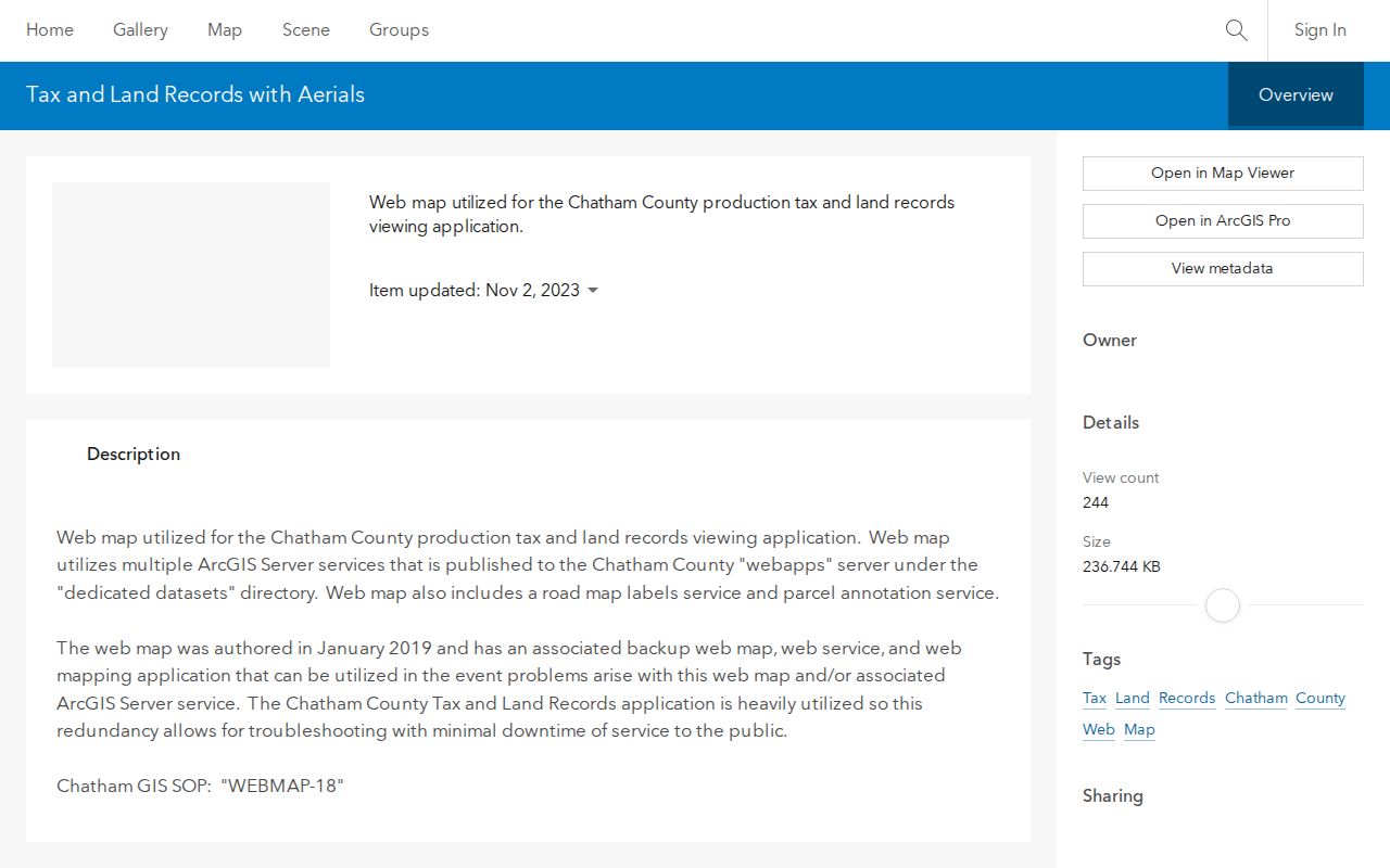
The Chatham public parcel layer supports geometry, SQL-style queries, and pagination, and is updated weekly. Date any result because its Jan. 1 owner field and current owner field can differ after a transfer or update.
Apex Parcel Records Across Roads
A road-separated lot is nearby on the map but is not a common-boundary neighbor. Keep that category separate in notes and in any comparison. The same care is needed around municipal and county edges. Apex is overwhelmingly in Wake, but the Chatham edge is real, and a postal city label does not choose the custodian. A property in the Apex ETJ can also be outside corporate limits. It should be described as ETJ or unincorporated where the official record says so. The Town’s corporate-limit map records expansion by decade and labels its last annexation as April 28, 2026. Historic and current Town geography can therefore differ for the same place.
| Parcel relationship | Directly touching, road-separated, or nearby only. Do not collapse those map relationships into one label. |
|---|---|
| Wake identifier | Record the REID or ten-digit PIN from the assessor result, then preserve the map link and query date. |
| Chatham identifier | Compare parcel number, map number, PIN, physical address, current or Jan. 1 owner field, and deed or plat reference. |
| Legal boundary | Use a recorded deed or survey for boundary interpretation. The map is a locating tool, not a substitute for either record. |
Historic imagery, flood, zoning, school, and polling layers add context. None proves a resident relationship, property occupancy, or a boundary right. Road-name changes need the same restraint. The Council approved “Squall Walden Lane” as the corrected spelling in 2022, so a failed older-record search can merit both forms and a minutes check. The safest label is “adjacent parcel trail” with the official source and date.
Apex Deed and Plat Records
Use a recorded instrument when the map needs an explanation. A Wake deed index search can be narrowed by grantor or grantee, date range, book and page, and document type. At least one name, date range, or book and page is required. Search both grantor and grantee roles when following a transfer, and use a broad name or date search before applying a restrictive document type. Plats, easements, releases, and corrective instruments may be relevant even when a search begins with a deed.
A deed index is a finding aid, not the instrument. The April 2025 Wake Land Records transition also matters: the new application began April 21, 2025, while legacy documents through April 17, 2025 remain in the older application. A result near that cutoff may require both official routes. Chatham’s parcel layer can point to deed book or page and plat book or page, but the Chatham Register of Deeds is the custodian for the recorded document.
For a full named-street record chain, the Apex street directory follows the broader address trail. A block comparison should stop at the directly relevant parcels.
Apex Neighborhood Registry Boundaries
The Town’s Neighborhood Registry covers active neighborhood groups in the town and ETJ. Eligibility calls for a corporate-limit or ETJ location, at least one board meeting each year, bylaws or CC&Rs, and an association that is open, inclusive, and accessible to join. Registered groups can receive neighborhood notices, grants, a guide map, and leadership resources. Those features help confirm a group’s local context.
The registry does not publish a member directory. Its existence cannot show who belongs to a household, who occupies a parcel, or whether every address in a subdivision is covered. Use the registered group name as a lead for a locality or community question, then return to parcel, deed, plat, and Town sources for the limited record needed.
The Apex Archive Center provides searchable Town archive material by keyword, archive, time period, and date range.
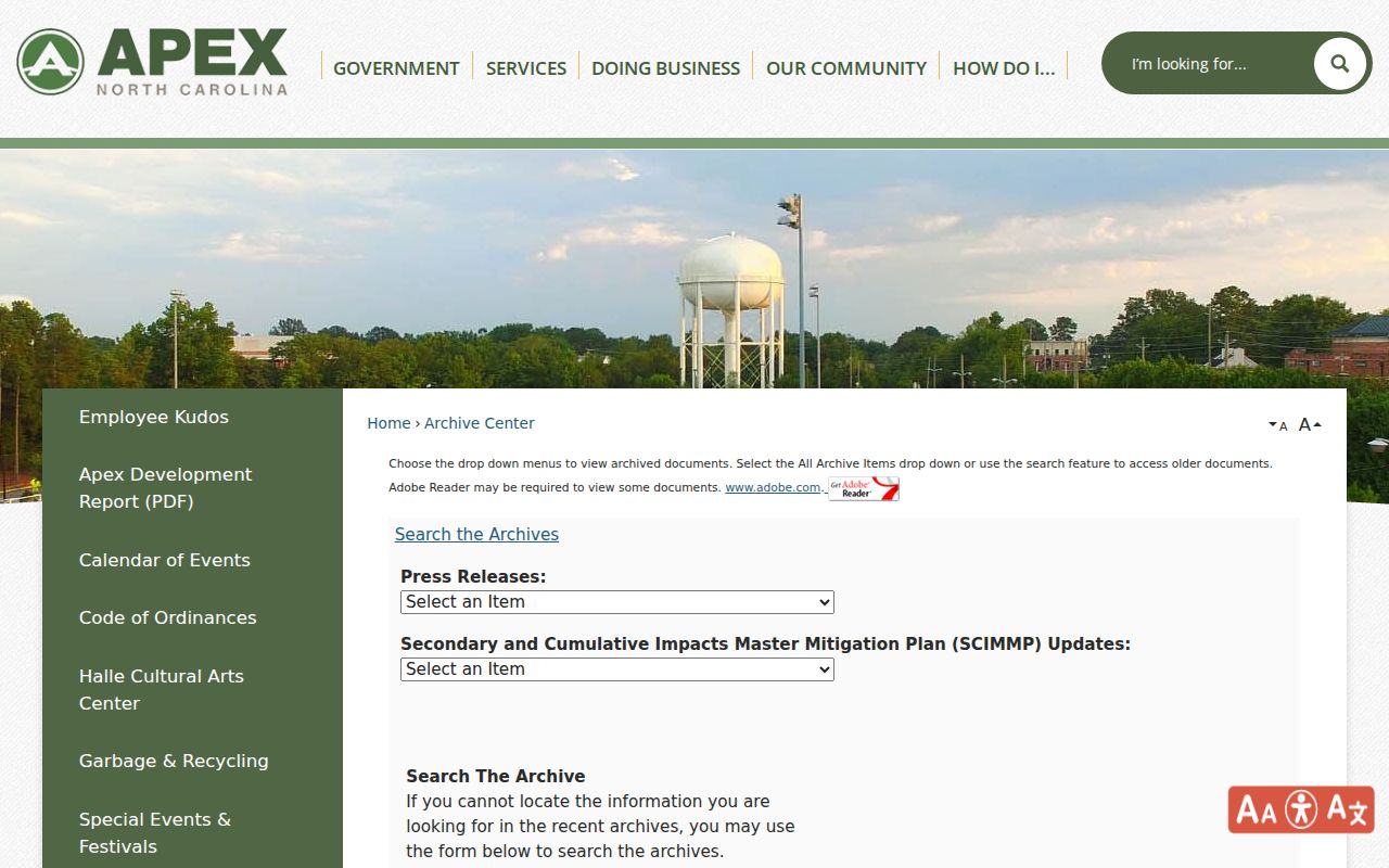
Archive results can supply municipal context for a subdivision, road, annexation, or project. They are not a substitute for a parcel owner field or a community membership list.
Apex Community Record Contacts
The Town’s SCM master list provides official development and community names with stormwater or management contacts. It is a name-normalization tool, not a complete registry. Examples identified in the Town inventory include Willow Hills, Greenmoor, Citiside, Jordan Manors, Kelly Grove, Windsor at Abbington, Winston, 55 James at Midtown, Alderwood, Belterra, Crestmont, and Friendship Station. A name match can help compare a plat or municipal record, but it does not establish a roster.
Neighborhood Registry
Town registry offers group eligibility details, notices, grants, a guide map, and leadership resources. It does not list members.
Town Office Contacts
Apex staff directory identifies municipal departments and contacts. It is for Town service routing, not a community or resident directory.
The Apex staff directory distinguishes public Town contacts from the people associated with an address or development.
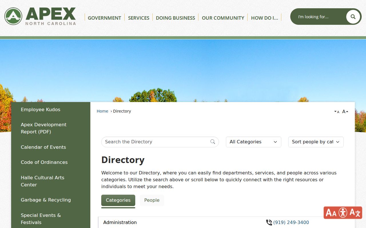
When a town record is needed, contact the responsible department with the address, parcel, date range, or project reference instead of asking for a list of people nearby.
Apex Voter Lookup Limits
The NCSBE Voter Search is a name-based election record, not a block search. It requires first and last name plus a voter-status selection, with middle initial, year of birth, and county as optional narrowing fields. A public result may provide status, jurisdiction, polling place, sample-ballot information when available, absentee information, and voter history. It does not identify every person at an address or establish parcel ownership.
| Source category | Useful block evidence | Limit |
|---|---|---|
| Official parcel and deed records | Dated parcel identity, current owner label, legal record references, and map relationship | Do not prove household composition or current occupancy |
| Official voter record | Election status and jurisdiction for a specific name search | Not a resident census; protected fields and addresses must remain protected |
| Commercial lookup category | May present a broad contact or address claim | Its scope, update date, and source basis may be unclear; do not treat it as an official parcel record |
NCSBE excludes full or partial Social Security numbers, full dates of birth, driver-license numbers, and certain protected email information from public voter information. Voted ballots and ballot choices are not public. A no-result may reflect a spelling, county, status, maintenance, or confidentiality issue, so it is not evidence that a person is absent from the block.
Apex Neighbor Privacy Limits
North Carolina’s Public Records Act supports access to existing records, not a requirement that a public office create a custom list of people around an address. The appropriate request names the existing record, its custodian, the date range, and the parcel, project, or document reference. For Wake or Chatham land records, use the county that holds the parcel. Chatham’s public-record request route likewise calls for a specific record and does not require the county to create one. For Town materials, use the Town department that holds the specific municipal record.
The NC DOJ Address Confidentiality Program and voter-address protections under GS 163-82.10(e) are privacy boundaries. Do not republish protected addresses or work around suppression. Shared surnames, mailing addresses, deed roles, and map proximity do not establish household relationships. The proper outcome can be “not located” or “adjacent parcel only.”
Lawful use. Use parcel and community records for lawful personal research, respect protected information, and never use nearby-address information to stalk, harass, intimidate, or harm anyone.