
Search an Apex Street by Address
Address work is strongest when it keeps ownership, address, and occupancy as separate questions. Begin with the exact display address, verify its delivery ZIP, and then establish the municipal or ETJ setting and county parcel. Most Apex parcels route to Wake County, while the small southeast edge routes to Chatham County. The county choice follows the parcel, not merely an Apex postal label. A property record can name an owner of record, but that field does not prove that person lives there. Likewise, a directory line or election lookup is a dated administrative lead, not a complete household list.
- Run the address in the Wake assessor portal, or first confirm a Chatham-edge parcel with the county GIS layer.
- Use the returned parcel’s owner label, physical address, and map link; iMAPS can confirm the road and municipal context.
- Use the parcel’s deed reference to find the recorded transfer, preserving the record date and grantor or grantee role.
- If a name needs current election-record confirmation, use the official NCSBE Voter Search with its name and county fields, rather than treating the street as a voter roster.
- For an older address trail, compare the date with local directory and archive holdings; a criss-cross volume is an address-indexed historical tool.
That order keeps the address-to-owner-to-deed-to-voter-to-directory chain honest. It also makes it easier to note when a result is a parcel label, a recorded party, or an older printed entry. Those notes let another researcher retrace the source path without merging several record roles into one claim.
Apex Street Geography Comes First
Apex crosses the Wake and Chatham county line, so an address search begins with geography before names. The Town assigns 27502, 27523, and 27539 to Apex, yet its ZIP guidance says an address using one of those delivery areas is not automatically inside the town boundary. The Town’s boundary material distinguishes corporate limits, ETJ, county boundaries, and USPS-derived ZIP areas. A property that feels local can therefore need a Chatham record path even when its mailing city says Apex.
Use the USPS address result for delivery routing, then compare the parcel and municipal layers. This check prevents a Wake deed search from being treated as complete for a Chatham-side address. It also protects historical work: a postal city, a current town boundary, and a past locality label may describe different things at different dates.
Note: Record the county and map status beside every street result, because an Apex postal label alone does not identify the responsible custodian.
Wake Fields for Apex Streets
The Wake Real Estate Search offers owner, REID, location-address, and PIN routes. For an address search, street number is optional but street name is required. The portal instructs users to omit the street type, such as “rd” or “dr,” and says partial street names can return a refinement list. That makes it useful for a whole-road search without presenting the result as a resident list.
| Wake search route | Field state | Format or result use |
|---|---|---|
| Owner | Last name required; first and middle optional | Individual last name allows up to 15 characters; business owner is a separate field. |
| Real Estate ID | Seven-digit numeric entry | Opens a specific administrative parcel record. |
| Location address | Street name required; number optional | Do not enter a street suffix; partial names can be refined. |
| PIN | Map, block, and lot route | The portal describes a ten-digit PIN; scale is separate from the PIN. |
A returned card can include a REID, PIN, property description, owner label, physical and mailing addresses, map data, acreage, zoning, sales, and links to deeds, permits, tax bills, maps, and parcel history. Those are administrative fields. Verify a changed value or legal conclusion with the county office or recorded instrument.
Read an Apex Street in iMAPS
Wake iMAPS accepts address, street, owner, PIN, REID, place, intersection, and parcel-identify searches. When an exact address fails, the official guidance suggests trying a directional variant, a partial street name, or the street-name list. Once a parcel is identified, iMAPS can connect to its tax and deed pages. Its available layers include parcels, streets, zoning, flood, schools and polling, soils, contours, and historic imagery.
Use those layers to understand a road and its parcels, not to make a boundary ruling. A deed or survey controls legal boundary interpretation. The map is especially helpful when an address has an abbreviated direction, a changed street form, or a parcel that sits near the town or county line.
Apex Street Deeds and Transfer Trail
The Wake Register of Deeds index is a finding tool for recorded documents, not the instrument itself. Search grantor and grantee variants, both roles, and a broad date range. The standard form accepts name, firm name, date, book/page, document type, and a Sounds Like mode. It requires at least a grantor or grantee, a date range, or a book/page. Begin broadly, then narrow by document type only after reviewing the wider result set.
Wake’s legacy collection reaches back to July 1785. The newer Land Records application launched April 21, 2025, while documents through April 17, 2025 remain in the legacy application. If an expected older instrument is absent, check both routes and preserve which application produced the result. For a copy, the Wake recorded-document request form supports a mail or fax request after online searching, and the information desk can help at 919-856-5476.
Note: A deed party shows a role in a dated land record, while the assessor card is a current administrative snapshot.
Apex Street Permits by Service Address
The Town’s Apex ePermits public search accepts permit type, permit number, and service address. No account is needed for the public search. An issued result can show inspection results and inspector information, making it a useful chronology layer for work associated with a place. It does not establish who currently occupies the address. Older Wake-side permit data may require the prior Wake permit database, which was last refreshed July 13, 2018.
Apex Building Inspections and Permits routes the public to the permit system.
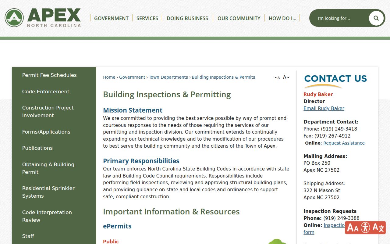
The Town’s permit route provides a service-address layer alongside, rather than in place of, the Wake or Chatham parcel record.
The Apex ePermits search is also the source of the public search image below.
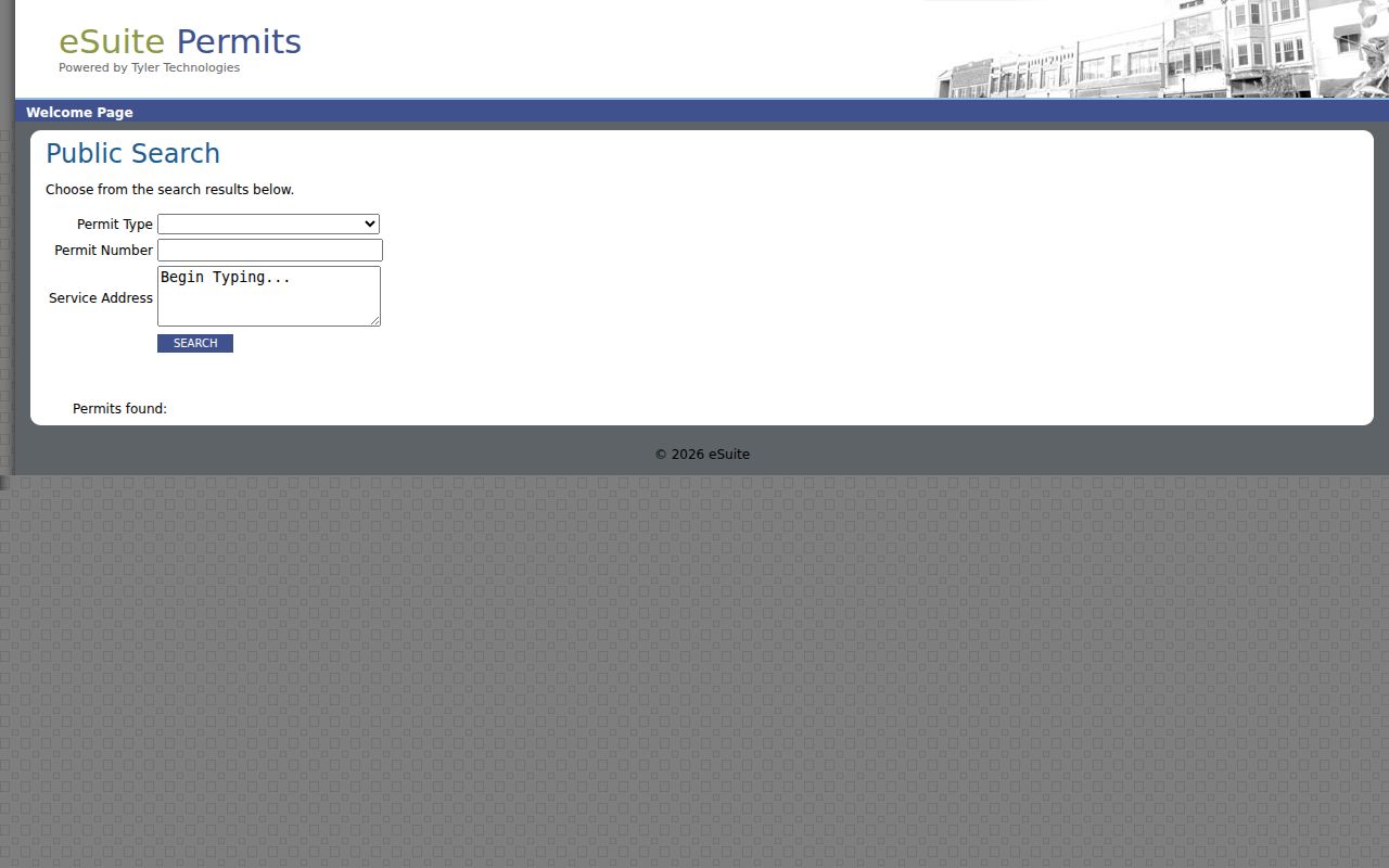
Permit number and service address are separate lookup paths, so retain the address spelling used by the result when matching it to the parcel.
Apex Address Records by Street
Address-keyed systems answer different parts of a street question. The table separates their practical roles so a map label, owner label, recorded party, and permit event are not collapsed into one claim.
| Address record layer | Custodian | Useful fields | Best street use |
|---|---|---|---|
| Property record | Wake Tax Administration | Owner label, REID, situs and mailing address, PIN, values, zoning, sales | Find the parcel key and compare physical and mailing fields. |
| Parcel map | Wake iMAPS | Address, street, owner, PIN, REID, layers and parcel identify | Place parcels along the road and inspect map context. |
| Recorded land index | Wake Register of Deeds | Grantor, grantee, type, date, book and page | Locate deeds, plats, easements, and transfer history. |
| Permit search | Town of Apex | Permit type, number, service address, inspections | Add a dated building or inspection event. |
| Edge-county parcel layer | Chatham GIS and Register of Deeds | Physical address, owners, PIN, deed/plat, grantor, sale instrument | Confirm a Chatham-side Apex parcel and its deed trail. |
The North Carolina Public Records Act, Chapter 132, supports access to existing public records, but a custodian does not have to create a new street-wide compilation. Make a precise request for an existing record, department, date range, and preferred format when an online view is incomplete.
Chatham Edge Addresses Need a Second Check
A Chatham-side Apex address needs its own parcel and land-record path. The public Chatham GIS REST layer can return physical street address, current and Jan. 1 owner fields, owner mailing fields, PIN, deed and plat book/page, grantors, sale instrument, acreage, legal description, and geometry. It is an attribute and spatial-query layer, not a complete population file. The county updates its edge-county parcel layer weekly, so date the lookup.
The Chatham parcel REST layer is the source of this Apex address-search image.
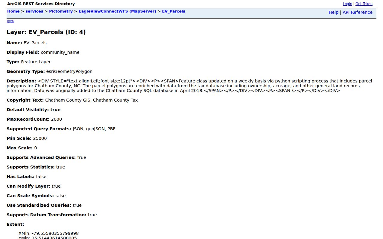
Its returned parcel fields give a route from a physical address to a deed or plat reference without assuming the mailing city proves county jurisdiction.
For recorded instruments, use the official Chatham Register of Deeds remote search; the office in Pittsboro also provides the in-person route. Dynamic browser controls limited the captured field details, so confirm the live name, date, or book/page options before a search.
Chatham Register of Deeds search is the source of the accompanying image.
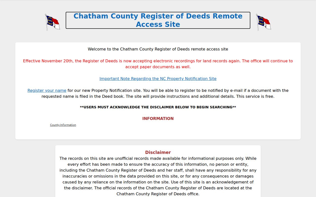
The Chatham Register of Deeds and Land Records Division are the appropriate follow-up channels when the parcel, rather than the mailing line, places the address in Chatham County.
Apex Address Terms to Keep Separate
Small field differences matter in an address search. A Wake sample record separated a post-office-box mailing address from the physical property location. That is why a mailing city should never replace the situs address in a street trail. The same care applies to current owner fields, Jan. 1 tax fields, deed parties, and a directory-listed occupant. Each is tied to a different date and role.
- Parcel
- A county’s administrative unit for a tract or lot, commonly linked to a tax identifier and map record.
- Situs address
- The physical location of the parcel, distinct from the owner’s mailing address.
- Plat
- A recorded map that can show lots, subdivisions, and related parcel layout.
- Criss-cross directory
- A historical directory arranged by address, useful for locating dated printed entries along a street.
Apex Road Names and Historic Forms
Address normalization should preserve the form printed in the source. Apex Council approved “Squall Walden Lane” as the corrected name for an earlier form in 2022. A failed search warrants testing both forms and checking the relevant minutes, not silently replacing the historic spelling. Early Apex research can also use railroad, depot, road, post-office, or county language because the town began as a railroad station in 1854, saw its first train in 1869, and incorporated in 1873.
The Town’s searchable agendas and minutes are available online for 1990–1994 and 2014–present. The Apex Archive Center adds keyword, archive, time-period, and date-range controls. For town records outside those web ranges, the Town Clerk offers historical records from the 1800s to the present by appointment.
Note: Preserve the printed road form, record date, and source type before translating a historical address into a current parcel search.
Limits of Apex Address Records
Address records cannot prove every person at an address. Parcel ownership is not occupancy, an election record is not a complete population count, and a postal ZIP is not a municipal boundary. A deed can be indexed under a trustee, agent, or firm; a current tax card can lag a transfer; and a historical directory line can describe a person or business at one point in time. Reconcile the source, date, county, and record role before making a conclusion.
Lawful personal use. Use public address records for personal research, family history, civic questions, or property verification. Do not use record trails to stalk, harass, intimidate, or defeat an address-protection program.
North Carolina’s Address Confidentiality Program and voter-address protections are record-specific safeguards. The NC DOJ program supplies a substitute address for qualifying participants and does not invite attempts to reconstruct a protected location. For protected identifiers in Wake records, use the Register of Deeds redaction process rather than disputing ordinary ownership history through that form.