
Apex ZIP Coverage at a Glance
The Town identifies three ZIPs as assigned to Apex: 27502, 27523, and 27539. They are delivery areas, not town polygons. The table keeps the Town’s local assignment separate from nearby postal areas that can appear in an address trail. It is a routing tool, not a list of people or a statement that every address using a postal city lies within the same municipality.
| ZIP | Local delivery association | Post office reference | Record-search note |
|---|---|---|---|
| 27502 | Apex-assigned delivery area | Apex Post Office, 501 W. Williams St. | Includes addresses outside corporate limits; verify parcel and town layer. |
| 27523 | Apex-area suburban and edge delivery geography | Apex-assigned ZIP | Do not assume every address is inside Apex; check Wake or Chatham GIS. |
| 27539 | Apex-area suburban and edge delivery geography | Apex-assigned ZIP | A postal label is not a town polygon; use parcel and municipal layers. |
The Town’s Apex ZIP assignment page is the source of this delivery-area image.
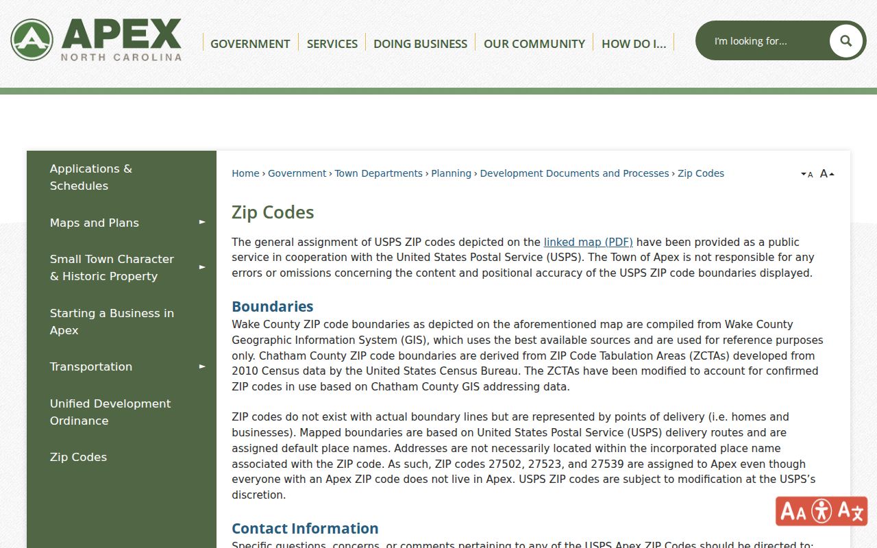
The assignment page supports the three local ZIP labels, while the parcel and boundary layers supply the next check for a particular address.
Apex ZIPs and Nearby Delivery Areas
New Hill 27562, Holly Springs 27540, and 27526 and other surrounding areas appear on the Town’s map as nearby delivery context. They can be useful historical or postal leads, but the Town does not list them among the three Apex-assigned ZIPs. A New Hill post-office line may be close to Apex without proving that the property is in Apex. Keep the original postal place in a record note until parcel geography confirms the location.
The Town’s ZIP boundary page is the source of this Apex delivery-boundary image.
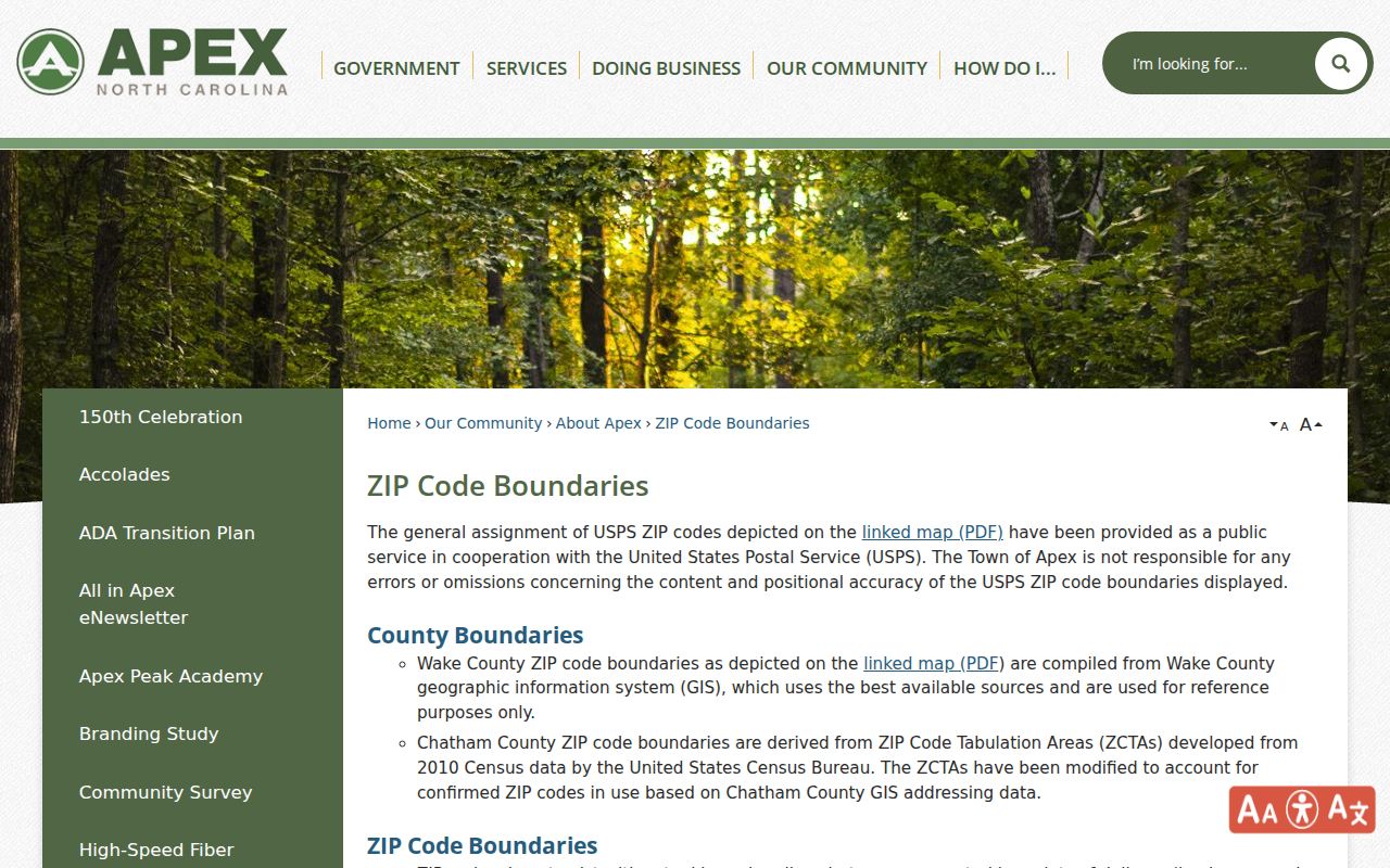
The Town says Wake boundaries were compiled from Wake GIS and Chatham boundaries from 2010 Census ZCTAs modified with Chatham GIS addressing. USPS may change delivery areas, so recheck the current map for a new search.
Verify an Apex Delivery ZIP First
USPS ZIP Lookup is the first official route for a single address. Its address mode requires street address, city, and state, then returns the delivery ZIP. It does not establish the town boundary, county, parcel, or a list of residents. Treat the result as a delivery check and preserve the address form entered, especially when old correspondence uses a nearby postal city.
| USPS address-mode field | Entry type | Required state | What the result supports |
|---|---|---|---|
| Street address | Text | Required for address mode | Tests the delivery address supplied. |
| City | Text | Required for address mode | Helps route the address to the postal lookup. |
| State | Selection | Required for address mode | Sets the state portion of the delivery query. |
| Returned delivery ZIP | Lookup result | Generated after search | Confirms delivery routing, not municipal status. |
USPS ZIP Lookup is the source of the Apex delivery-lookup image below.
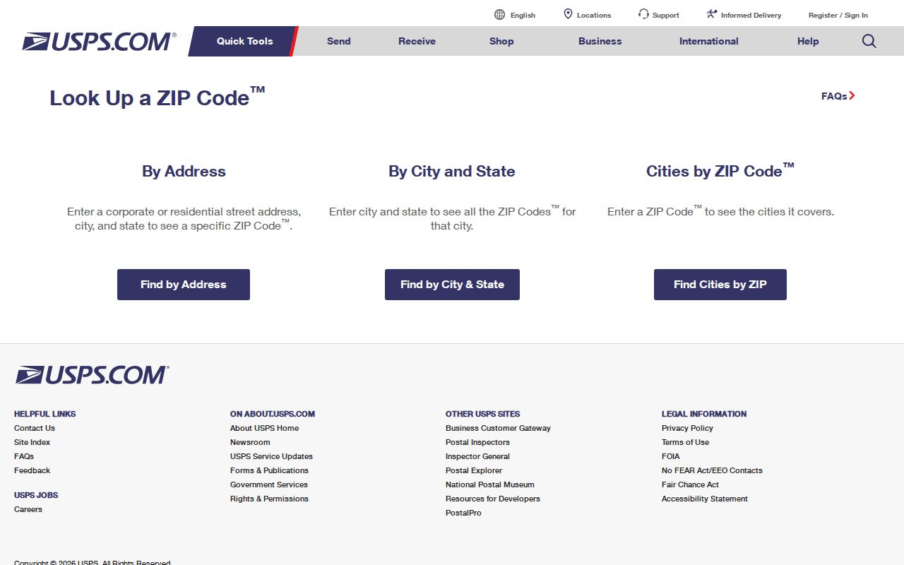
A delivery result should be followed by an Apex municipal layer and the appropriate county parcel record before any records conclusion.
Use Apex Parcels After the Postal Check
Wake County’s Real Estate Search and iMAPS work by address, owner, REID, PIN, or map-related fields rather than a ZIP-only resident list. Use the delivery result to normalize an address, then search the parcel. The assessor shows current administrative fields such as owner label, situs and mailing address, map keys, values, zoning, sales, and deed or permit links. iMAPS adds parcel, street, zoning, flood, school and polling, soils, contours, and historic-imagery layers.
For a Chatham-edge parcel, the public GIS REST layer supports spatial and attribute queries, including physical address, current and Jan. 1 owner fields, deed and plat book/page, grantor, sale instrument, acreage, legal description, and geometry. It is not a ZIP-based population file. The county choice comes from the parcel, even when postal delivery still says Apex.
Note: A delivery ZIP narrows an address search, but the county parcel record identifies the official land-record route.
Find Records Within an Apex ZIP
An Apex ZIP search works as a sequence of geographic checks, not as a bulk name list. USPS verifies delivery. The Town map explains the ZIP and corporate-limit relationship. County systems then identify the parcel, owner-of-record field, deed reference, and any map context. The NCSBE voter lookup is name based and requires first name, last name, and a voter-status selection, with middle initial, year of birth, and county as optional refinements. It is not a ZIP-only roster.
- Verify the full mailing address through USPS and record the returned ZIP.
- Check the Town ZIP and corporate-limit materials for municipal and ETJ context.
- Search Wake Real Estate Search and iMAPS by address, or use Chatham GIS when the parcel falls on that county edge.
- Use the resulting parcel identifier or deed reference for land records; only then use a name-based voter search as a separate, dated administrative check.
Once a ZIP check has narrowed the location to a specific road, the Apex street directory provides the address-keyed parcel, deed, map, and permit workflow.
Apex ZIP Distribution Is Search Context
A Town long-range planning survey reported primary Apex residents as 84% in 27502, 7% in 27523, 4% in 27539, 3% in 27562, and 2% in other ZIPs. Those figures can suggest a sensible address-check order, but they are not a postal boundary rule or a current count of any group. An individual address may still be outside the town limits, on the Chatham edge, or served through a nearby post office.
The Town of Apex maps page is the source of the local-map image.
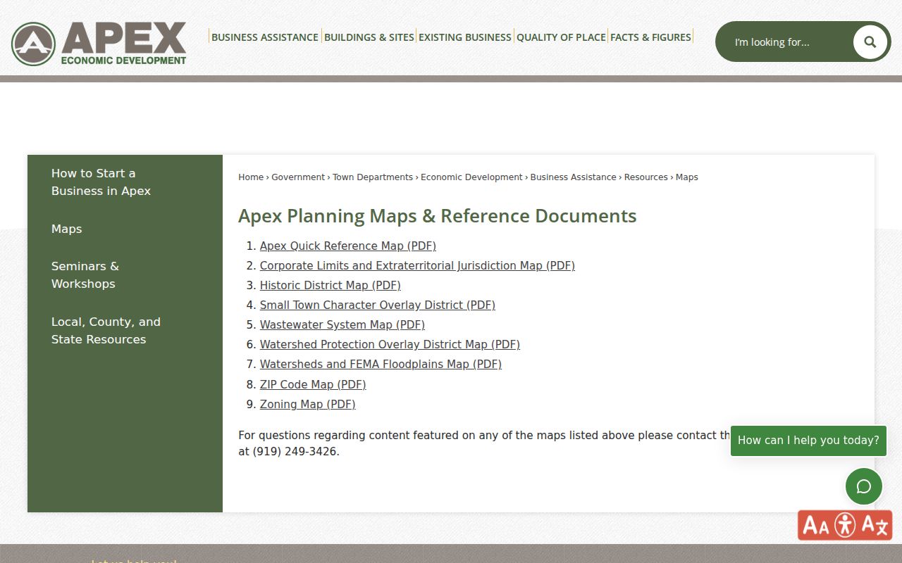
Use the Town map as geographic context, then rely on the returned parcel and recorded documents for location-specific record work.
Apex ZIP Boundaries and Town Limits
A ZIP code boundary and an Apex city limit answer different questions. ZIPs are postal delivery areas. Corporate limits and ETJ are municipal planning boundaries. County lines determine which tax, GIS, Register of Deeds, Clerk, and other county custodian route applies. A historic “Apex” entry can be a post-office or locality clue rather than a present-day municipal location, so pair it with the date, parcel, map, deed, or directory evidence.
Boundary check. Do not treat a postal city line as proof of town residency or county jurisdiction. Confirm the delivery address, municipal layer, and county parcel in that order.
- ZIP and ZIP+4
- The main ZIP routes a delivery area; ZIP+4 adds a more specific delivery segment and does not establish a town boundary.
- PO-box ZIP
- A ZIP used for post-office-box delivery, which is not proof of the box holder’s physical location.
- Unique ZIP
- A ZIP assigned to one organization or location; the research did not identify one for Apex, so do not assume a special ZIP exists.
- Carrier route
- A postal delivery grouping. It can help address handling but is not a parcel or municipal boundary.
Apex County Handoff After a ZIP Search
Most Apex parcels are in Wake County, but a small southeast edge lies in Chatham County. Wake routes land questions through the Real Estate Search, iMAPS, and Register of Deeds. Chatham routes the edge through Tax Administration, GIS, and its Register of Deeds. Each custodian can have different portal behavior, record coverage, fees, and copy rules. A recorded instrument or clerk-certified copy is the appropriate follow-up when a legal conclusion depends on the document.
Chapter 132 gives a route to inspect existing North Carolina public records at reasonable times, subject to record-specific limits. It does not require an agency to create a new ZIP-wide compilation. Ask the agency that holds the record for the existing item, identify the department and date range, and state the preferred format.
Note: Keep the ZIP, county, town or ETJ status, source date, and record role together so a delivery label is not mistaken for proof of location.
Limits of Apex ZIP Records
Apex ZIP records help route an address. They cannot establish who currently lives there, prove the boundary of a parcel, or substitute for a recorded deed, survey, or official custodian’s copy. Parcel owner labels, mailing addresses, historic directory entries, and election records each carry different dates and meanings. Compare the source before treating several matching labels as one identity.
North Carolina has record-specific confidentiality protections, including the NC DOJ Address Confidentiality Program and voter-address protections. Do not attempt to use map, postal, or parcel clues to reconstruct a protected address. Use public records for lawful personal research, family history, property verification, or civic questions, and never to stalk, harass, or harm a person.